 Cape Town City Guide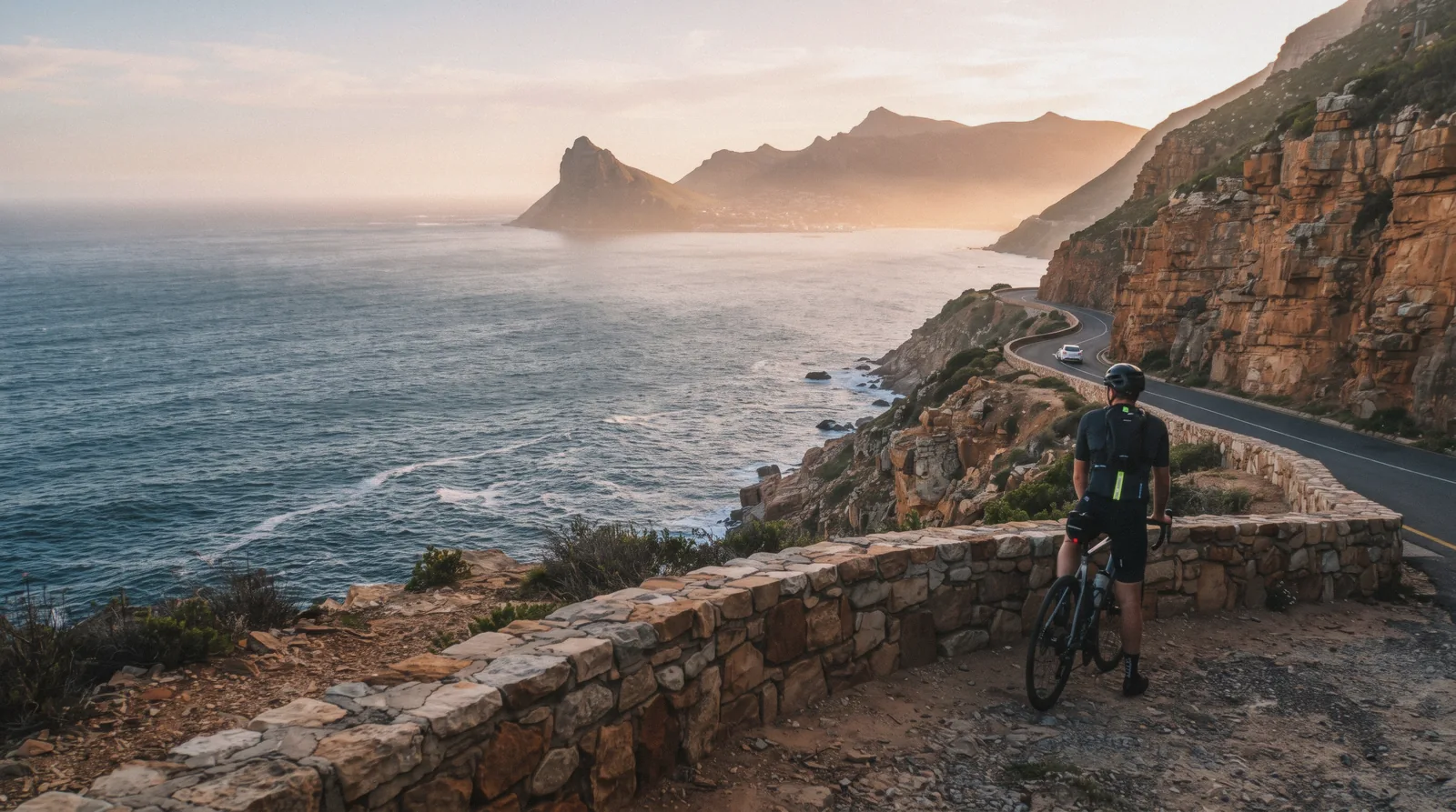
Chapman's Peak Drive
Chapman's Peak Drive — written Chapmans Peak Drive on plenty of maps, Chappies to locals — is the 9 km toll road cut into the cliffs between Hout Bay and Noordhoek — 114 curves hanging above the Atlantic, and the route most peninsula tours take on the way to Cape Point. It is also a road that closes for rockfall and weather with little warning, and it was closed when we checked. This page starts where your planning should: the live status, then the toll, the day-pass rules, the picnic bays and the detour. The harbour at the northern end has its own Hout Bay page, and the reserve at the end of the road its own Cape Point page. For the rest of the city, start with what to do in Cape Town.
Quick answer Live status first, then toll, hours and the detour
Check before you go: Chapman's Peak Drive closes for rockfall and storms with little warning, and it was closed when we checked — the official homepage carries a live status banner that settles it in five seconds. When open, the toll is $4.22 (R68) per car per direction (motorcycles R45), on the tariff effective 1 July 2024.
Key takeaways
- Closed on the day? The inland detour over Ou Kaapse Weg to the False Bay coast adds about twenty minutes and is exactly how the Cape Point tour operators reroute — the peninsula day survives the closure
- The 10-hour Gray Line loop and the penguin half-day tour both build the drive and its toll into their routes and prices — the toll is one of the few peninsula costs the tours DO cover
- Stopping is the point: the picnic bays and lookouts above Hout Bay turn a 15-minute drive into the best hour of coastal road in the country
Key facts
Opening hours
| Summer (October–March) | 06:00–20:00 |
|---|---|
| Winter (April–September) | 07:00–18:30 |
Closed Closes for rockfall and severe weather without notice — check the live status banner at chapmanspeakdrive.co.za on the day
Admission
- Adult
- $4.22 (R68) per light vehicle, per journey per direction; motorcycle $2.80 (R45)
- Reduced
- Minibus taxi R21; 2-axle bus R276; frequent-user rebates from R58 down to R26.50 for light vehicles
- Free
- Walking and cycling onto the first stretch — no toll for non-motorised users; day-pass scheme for short visits (price not published)
Planning it
- Time needed
- 15 minutes to drive straight through; 1–2 hours with viewpoint and picnic-bay stops
- Address
- M6 between Hout Bay and Noordhoek, Cape Peninsula — toll plaza at the Hout Bay end
The official toll tariff from chapmanspeakdrive.co.za (effective 1 July 2024, VAT included, per journey per direction), read in Q3 2026, plus the tours that carry the toll for you.
Are you paying a toll, or paying someone else to have paid it? The road costs R68 a car — the question is whether you are driving.
| Option | Price | Covers | Note | Book |
|---|---|---|---|---|
| Light vehicle (car), official tollAnyone self-driving the peninsula loop, one direction at a time | $4.22 (R68) per direction | One pass through the full 9 km | Pay at the plaza; check the live status banner first | Official site |
| Motorcycle / minibus taxi / 2-axle busMotorcycles, minibuses and coaches, by vehicle class | $2.80 (R45) / R21 / R276 | Same road, tariff by vehicle class | Heavy 3–4 axle vehicles pay R692 | Official site |
| Gray Line peninsula day via the driveA full peninsula day where the toll and the fuel are the operator's problem | From $52.95 | Tolls and fuel covered by the operator | Park gate fees still excluded — see the card | Check Availability |
| Penguin half-day tour via Chapman's PeakA half-day that covers the toll and the Boulders gate together | From $37 | Toll AND Boulders entry included | The rare tour with entry fees in the price | Check Availability |
| Table Mountain + Cape Point comboAdding Table Mountain to the same day, tolls included | From $59.18 | Chapman's Peak tolls covered | Reroutes via Ou Kaapse Weg when closed | Check Availability |
The toll is honest money for what you get, and it is per direction — an out-and-back sightseeing run costs R136. The frequent-user scheme (from R58 down to R26.50 a pass) only matters to commuters; visitors pay the standard R68 and should spend their planning energy on the status banner instead.
Tours that drive Chapman's Peak
The drive is a through-route, not a destination with a gate, so it comes bundled inside the peninsula tours. Prices are USD as listed; all of them reroute inland on closure days.
 from $52.95
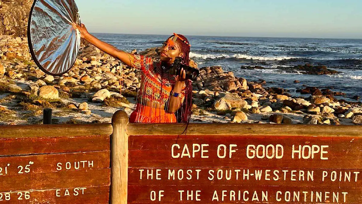
Cape Town: Cape of Good Hope & Penguins Day Tour with Pickup
10-hour Cape Peninsula loop — Cape of Good Hope, Boulders penguins, Chapman's Peak — in a new Sprinter with accredited guide. Every park fee is extra: budget about R900-1,000 per adult on top, cash or card on the day.
Check Availability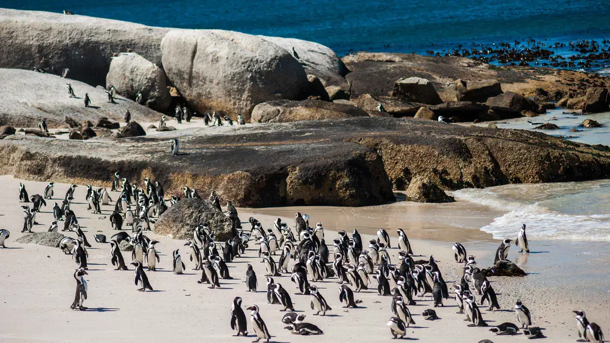 from $37
Cape Town: Penguin Watching at Boulders Beach Half Day Tour
Penguins without the full peninsula: 5 hours via Chapman's Peak with about two hours at Boulders, and the colony entry fee is actually included — unlike the bigger Cape Point combos.
Check Availability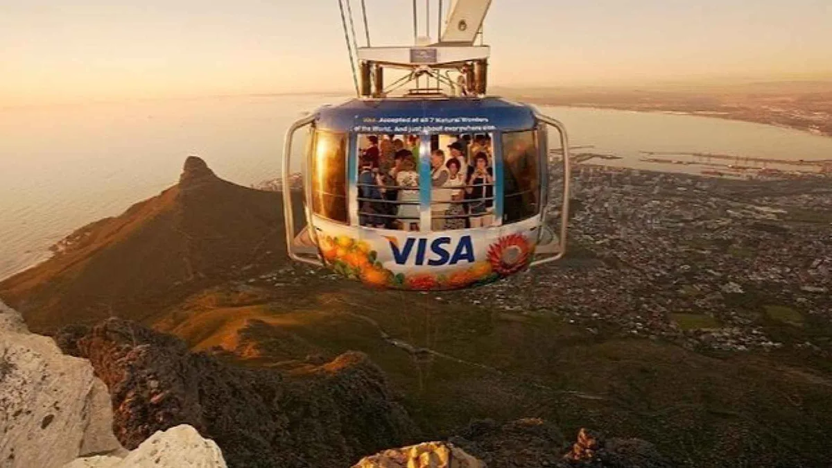 from $59.18
Cape Town Tour: Table Mountain, Penguins & Cape Point + Pickup
The three-big-sights day: Table Mountain, Boulders penguins and Cape Point in 10 hours. All entrance fees are extra (roughly R1,365 adult if you take everything) — the operator sends a ticket-purchase link the day before.
Check Availability from $155.75
Cape Town: Private Full-Day Cape of Good Hope Tour
The private version of the peninsula day: your own vehicle, guide and schedule for 8 hours at $156 per person. Park fees still excluded — the shared Gray Line tour covers the same route for a third of the price.
Check AvailabilityPrices, ratings and details are the platform's own. Dollar figures are the listed prices. The platform bills in your account's currency.
Closed or open? The live status habit
This is the one Cape Town attraction where the first click of your planning is a status check, not a ticket page.
Why the road closes
The drive is cut into a band of soft shale below hard sandstone cliffs, and the combination sheds rock — especially after winter storms and heavy rain. The operating company closes the road pre-emptively for high wind, fire and rockfall risk, sometimes for hours, sometimes for weeks while crews stabilise a slope. There is no season you can fully trust: we found it closed on a spring day.
The official homepage, chapmanspeakdrive.co.za, carries a live status banner with a last-updated stamp — make it the first thing you open on peninsula-day morning, before committing to the Atlantic-side route.
The detour: Ou Kaapse Weg
A closure does not cancel the peninsula day — it just swaps the coastal spectacular for a mountain pass. From the city or Hout Bay, the reroute runs inland over Ou Kaapse Weg (the M64 across the Silvermine plateau) and drops you to the False Bay side near Fish Hoek, adding roughly twenty minutes to the run to Boulders Beach or Cape Point. It is a genuinely scenic pass in its own right — fynbos, mountains, False Bay views on the descent — and it is exactly the route every tour operator switches to on closure days, so a closed Chapman's Peak is never a reason to cancel a booked tour.
The toll and the day-pass rules
The toll plaza sits at the Hout Bay end. The standard tariff has been in force since 1 July 2024: $4.22 (R68) for a light vehicle, $2.80 (R45) for a motorcycle, R21 for a minibus taxi, R276 for a 2-axle bus and R692 for heavy 3–4 axle vehicles, all including 15% VAT, all charged per journey per direction. Cards are the safe assumption across the peninsula's cash-averse gates.
There is also a day-pass arrangement for people who only want the first stretch — it applies from the Hout Bay entrance and covers the first 2.7 km as far as the Day Pass Control Unit, you keep your ticket for the return, and it exists precisely for a sunset drive to the lookout and back. The one thing the official day-pass page does not publish is the price: no rand figure appears anywhere on it, so ask at the plaza — we will not print a number nobody states.
Walkers and cyclists pay no toll. And a small consolation for a closure day: you often may still walk or cycle a short way onto the road when it is closed to cars — but only when signage at the plaza says so, never past a hard barrier.
- Car $4.22 (R68), motorcycle $2.80 (R45), minibus R21, bus R276 — per direction, VAT in
- Tariff effective 1 July 2024; frequent-user rebates R58 → R26.50 for locals
- Day pass: Hout Bay entrance, first 2.7 km, keep the ticket for the return — price not stated on the official page
- No toll for pedestrians and cyclists
The road itself: 9 km, 114 curves, cut by hand
Built 1915–1922 along a geological gift
The drive was the project of Sir Frederic de Waal, administrator of the Cape Province, built between 1915 and 1922 — much of it by convict labour with picks, shovels and early drilling gear. The engineering insight was geological: the road rides the natural bench where the soft Cape granite meets the harder Table Mountain sandstone above, which is why it hangs mid-cliff instead of climbing over the mountain. The result is about 9 km of road with 114 curves between Hout Bay and Noordhoek, opened to traffic in 1922 and promptly declared one of the great marine drives anywhere.
Closed for years, rebuilt, tolled
Rockfall was always the price of the route. After serious incidents in the 1990s the road closed for a major reconstruction — catch fences, netting, gabions and the half-tunnel rock canopy you drive under today — and reopened in 2003 as a managed toll road. The toll funds the constant slope monitoring and maintenance that keep it open at all; the pre-emptive closures are the same system doing its job.
That is the fair trade to keep in mind at the plaza: R68 buys you a road that engineering holds onto a cliff face.
Picnic bays and viewpoints: where to actually stop
Driving straight through takes fifteen minutes and misses the point. The road is lined with stone-walled picnic bays and lookouts, and stopping at two or three of them is the whole experience.
From the Hout Bay side, the early bays look back across the bay to the Sentinel — the classic postcard of Hout Bay harbour framed by mountains, best in late-afternoon light. Near the road's high point, Chapman's Point delivers the other famous view: the full sweep of Noordhoek's long white beach running south below you, with the wetlands behind it. Sunset is the drive's signature hour — the road faces west, the cliffs go orange, and the day-pass arrangement exists precisely for this errand.
Practical notes: stop only in the built bays, never on the verge — the curves are blind and the drops are real. Baboons work the picnic bays exactly as they work Cape Point's car parks, so keep food sealed and out of sight (the Cape Point page has the full baboon protocol). And the wind that empties the bays in summer is the same south-easter that dominates November to March — on a howling afternoon, do the drive in the calmer morning instead. For drivers who would rather not take the wheel themselves, Chapman's Peak is a staple stop on many sightseeing tours in Cape Town, which handle the curves and the parking so you can just sit in the bays.
- Lower bays (Hout Bay side): the Sentinel and harbour view — best late afternoon
- Chapman's Point (high point): the Noordhoek beach panorama
- Stop only in the built picnic bays; blind curves everywhere else
- Sunset drive: check the day pass at the plaza; keep food hidden from baboons
Cycling, running and the Noordhoek end
Chapman's Peak is the most famous stretch of road cycling in South Africa — it anchors the Cape Town Cycle Tour route and fills with riders every fine weekend morning, who pay no toll and climb from either end. If you ride: earliest light is safest and calmest, the Hout Bay-side climb is the steeper approach, and the same live-status rule applies to bikes as to cars on full-closure days.
At the southern end the road drops into Noordhoek, whose enormous quiet beach stretches 8 km towards Kommetjie — horses on the sand at low tide, surfers at The Hoek, and almost nobody else midweek. It makes the natural picnic-bay-then-beach pairing before the run continues south to Cape Point, or the gentler afternoon alternative when the reserve is done. Our beaches guide puts Noordhoek in context against the rest of the coast.
Chapman's Peak Drive map: plaza, lookouts and the detour
The toll plaza, the two ends of the road and the viewpoints worth a stop — plus the Ou Kaapse Weg detour for closure days.
At either end of the drive
Drive times are our estimates from the toll plaza; the drive is the connector of the whole Atlantic-side peninsula day.
Hout Bay
The working harbour at the northern end: fish and chips, the Duiker Island seal boats and the weekend market. Hout Bay is the natural pre-drive stop.
5 min driveCape Point
The reserve at the end of the peninsula road — cliffs, funicular and the Cape of Good Hope sign. Cape Point is where the drive is usually heading.
40 min driveBoulders Beach
The penguin colony on the False Bay side. Boulders Beach is reachable either over the drive or via the Ou Kaapse Weg detour when the road is closed.
35 min driveChapman's Peak Drive questions
How much is the Chapman's Peak toll?
The standard tariff, effective 1 July 2024: $4.22 (R68) per light vehicle, $2.80 (R45) per motorcycle, R21 for minibus taxis and R276 for 2-axle buses, all per journey per direction with VAT included. An out-and-back sightseeing run therefore costs a car R136. The peninsula tours cover the toll inside their prices.
Is Chapman's Peak Drive open right now?
Check chapmanspeakdrive.co.za — the homepage carries a live status banner with a last-updated stamp, and it is the only source worth trusting. The road closes for rockfall, storms and high wind without much warning; it was closed on the day we checked. Never route a tight day over the drive without looking first.
What happens if Chapman's Peak is closed on my tour day?
Nothing dramatic: every operator reroutes inland over Ou Kaapse Weg to the False Bay coast, which adds about twenty minutes to the run down to Boulders Beach and Cape Point. You lose the cliff road, keep the whole rest of the day, and the tours neither cancel nor charge differently for the detour.
How does the Chapman's Peak day pass work?
It applies from the Hout Bay entrance and covers the first 2.7 km of the road, as far as the Day Pass Control Unit — keep your ticket for the return leg. It exists for exactly the short sunset-viewpoint errand. The price is not stated on the official day-pass page, so ask at the toll plaza; we won't print a figure nobody publishes.
How long is Chapman's Peak Drive and how long does it take?
About 9 km and 114 curves between Hout Bay and Noordhoek. Driven straight through it takes around fifteen minutes; with stops at the picnic bays and Chapman's Point lookout, give it an hour or two. Gates run 06:00–20:00 in summer (October–March) and 07:00–18:30 in winter (April–September).
Who built Chapman's Peak Drive?
It was driven through between 1915 and 1922 under Sir Frederic de Waal, the Cape administrator, largely with convict labour — the road rides the natural ledge where the granite meets the sandstone cliffs. After rockfall closures in the 1990s it was rebuilt with catch fences and the rock canopy, reopening as a managed toll road in 2003.
Can you cycle or walk Chapman's Peak Drive?
Yes — cyclists and pedestrians pay no toll, and the drive is the most celebrated road-cycling climb in the country. Ride early for calm air and light traffic, and respect full closures: when the status banner says closed and the barriers are down, that applies to bikes too unless signage at the plaza explicitly allows non-motorised access on the open stretch.
Where the drive fits in a Cape Town trip
Treat it as the connector that upgrades the peninsula day rather than a separate outing: Hout Bay for the harbour in the morning, over the drive with two viewpoint stops, then south to Cape Point and back up the False Bay side. Add a dedicated sunset return run if the weather gods cooperate — that is the drive at its best. The three-day itinerary builds its peninsula day this way, with the Ou Kaapse Weg fallback already in it, and the things to do list shows what else competes for the same golden hour.
The drive on film: curves, cliffs and the Noordhoek drop
Three drives filmed end to end — the best way to judge whether you want to be the driver or the passenger on this road, and what the viewpoints actually deliver.
Chapman's Peak Drive: World's Most Beautiful Drive?! | South Africa
A full run with stops at the lookouts, showing the picnic bays and the light at different points of the road.
Video: Alt Living with Steve and NazChapman's Peak Drive, Cape Town | Scenic Drive and Virtual Tour | 4K South Africa
A clean 4K drive-through of all 9 km — useful for previewing the curves if heights are a concern.
Video: Hello Adventure TravelNoordhoek – The Stunning Drive Across Chapman's Peak! Ep 246
The southern approach and the Noordhoek end, the half of the drive most visitors see least.
Video: DustBugs TravelVideos load from YouTube only when you press play.
Prices, hours and terms are set by the venue or operator and confirmed at checkout.
We may earn a commission if you book through one of our links, at no extra cost to you. Full affiliate disclosure